|
|
RCRC's field in Orangeburg
1962-1982
|
|

|
The
Orangeburg field was once RCRC's original place to fly from
1962 until 1982 when the land was sold and developed. It was behind Chromalloy on Blaisdell Road, and the dirt road
leading to the field was off of Hunt Road. The
old Orangeburg sand pits are long gone now, Chromalloy has
doubled in size and there is an office building right on the
location of the paved runway. Today, roads in the corporate park follow
some of the old trails that were in the area and it looked
like it was a really great place to fly! |
|
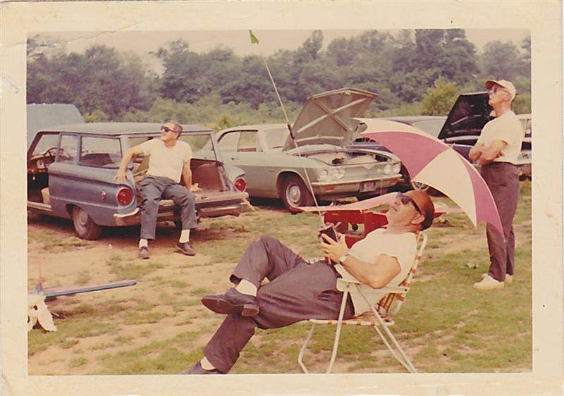
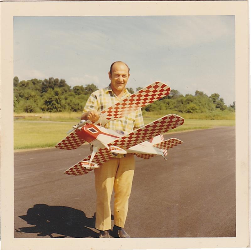
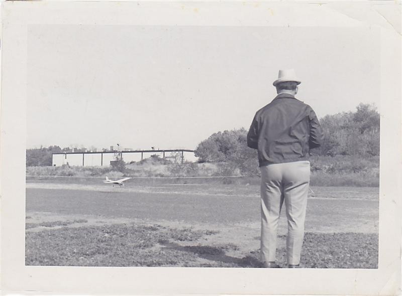
| Another relaxing day of flying with RCRC member Tony DiEdwardo at
the controls, circa 1970. |
|
|
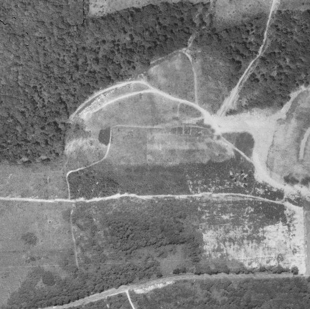
Here is Orangeburg in 1965. Notice the
Chromalloy building is non-existent, and the lighter rectangle in
the center of the photo is the airfield. |
|

|
Compare and contrast this 1979 image above with 1965
on the left... |
|
|
|
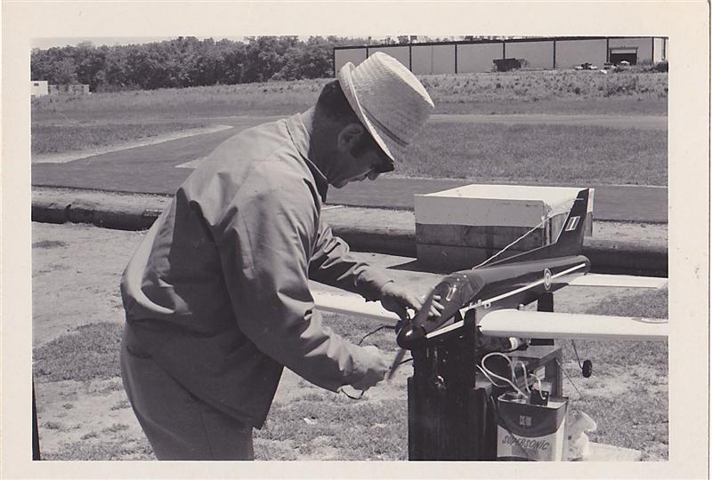
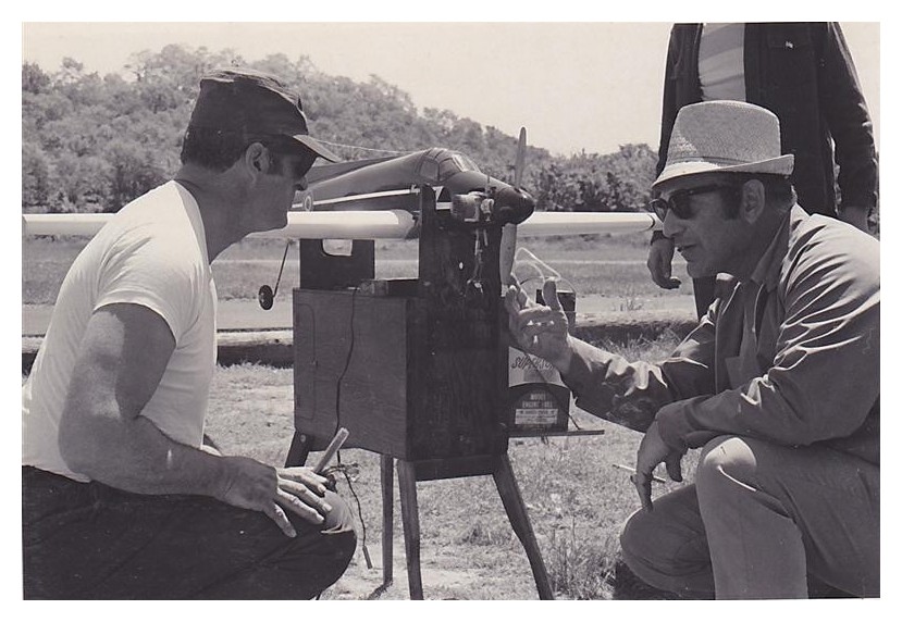
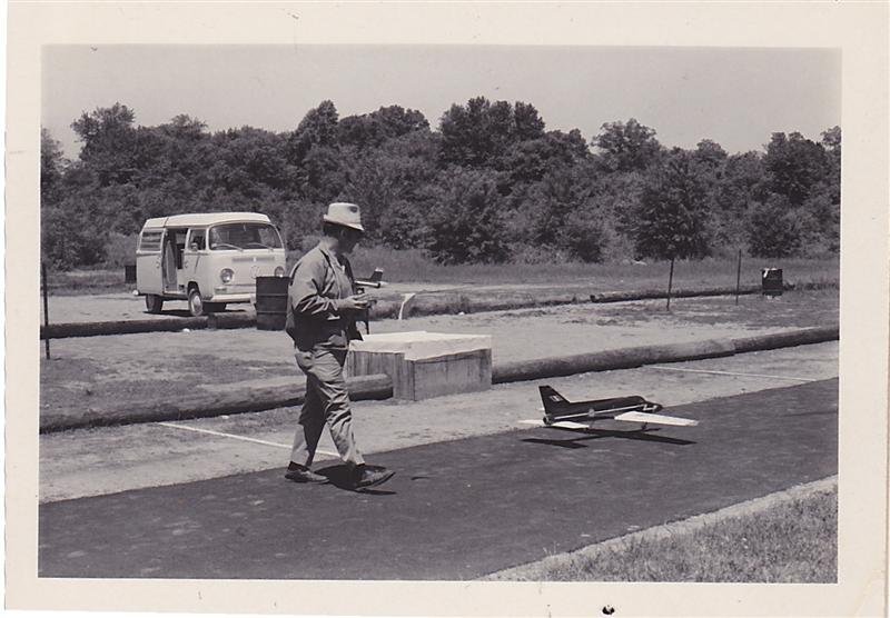
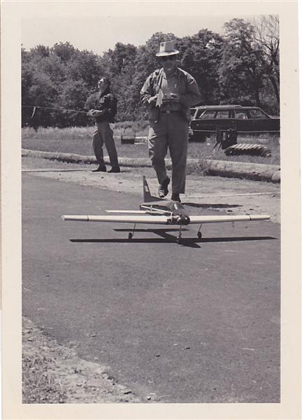
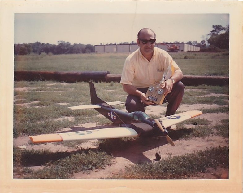
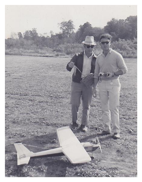
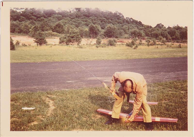
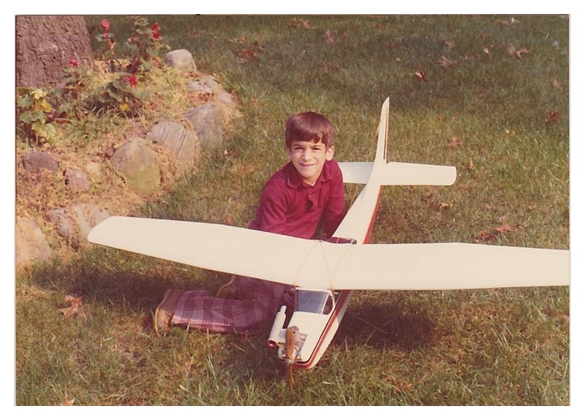
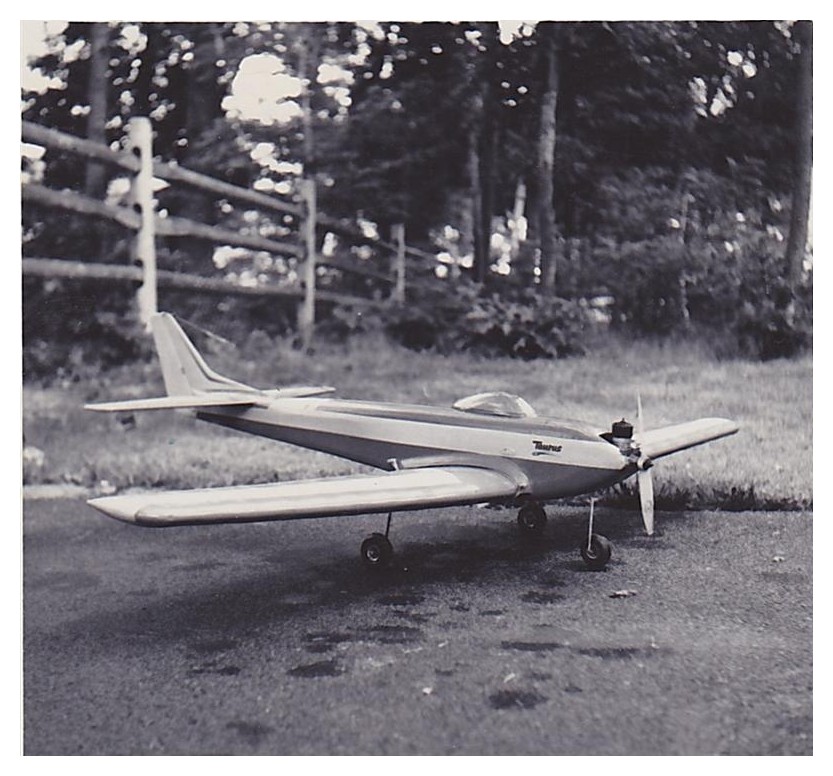
Here are some great photos of Orangeburg from
Alex DiEdwardo, who along with his dad Tony were members of RCRC during the
late 60's until about 1978. While no record if any exists of
RCRC's tenure at Orangeburg, here is proof of what was once there. Many thanks goes to Alex for taking the
time to scan in these photos and send them out to us!
Click on a photo to see a larger image |
|
|